Map · July 8, 2026 · 8 min read
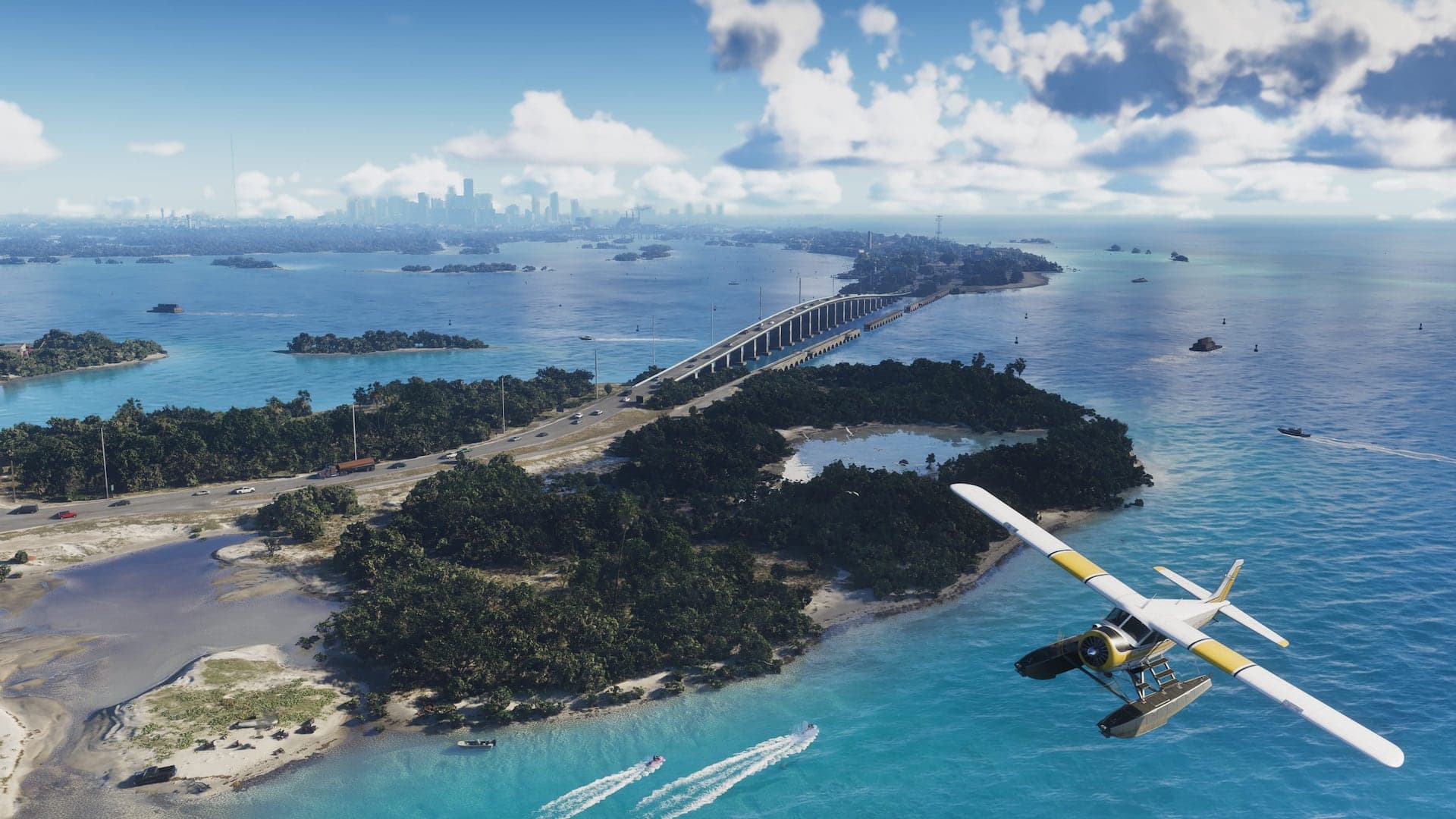
Leonida Keys & Grassrivers: Water Defines the Map
Island roads, mangrove channels, open water, airboats, wildlife, and the criminal routes connecting southern Leonida.
At a glance
- Leonida Keys
- Tropical island chain
- Grassrivers
- Wetland region
- Visible transport
- Boats, airboats, road vehicles, and aircraft
The Keys and Grassrivers make water part of Leonida's basic geography rather than scenery at the edge of the map. Official material repeatedly shows bridges, docks, shallow channels, open-water craft, marsh routes, and wildlife.
Brian Heder's boat yard gives the Keys a direct story connection. His smuggling history and Jason's work for local runners suggest that coastal logistics matter to the criminal world, though no smuggling mechanic has been announced.
Leonida Keys
The Keys combine vacation imagery with working docks, local bars, aging properties, and criminal infrastructure. Jason's home and Brian's operation place this region near the beginning of his known story.
Grassrivers
Grassrivers is Rockstar's wetland region: broad marshes, mangroves, airboats, hunters, and wildlife. It provides a low-density counterweight to Vice City and could turn water channels into alternate routes around roads.
Confirmed sights, unconfirmed systems
- Confirmed on screen: airboats, speedboats, fishing imagery, alligators, birds, and wetland travel.
- Not confirmed: fishing minigames, hunting systems, dynamic flooding, animal attacks, or cargo businesses.
Related dispatches
Map · 12 min
The GTA VI Map: All Six Confirmed Regions
Vice City, the Keys, Grassrivers, Port Gellhorn, Ambrosia, and Mount Kalaga — a verified tour of Leonida.

Map · 8 min
Vice City Guide: Beaches, Nightlife & Neighborhoods
A close reading of GTA VI's urban heart, from pastel hotels and marinas to highways, high-rises, and club culture.
Map · 9 min
Beyond Vice City: Three Regions to Watch
Port Gellhorn's faded coast, industrial Ambrosia, and Mount Kalaga's wilderness give northern Leonida its identity.