
Map · June 12, 2025 · 8 min read
Mapping Leonida: Confirmed Regions & Fan Cartography
Six official regions now anchor the best fan reconstructions of Vice City and the wider state.
At a glance
- Confirmed regions
- Six
- Official boundary map
- Not published
- Fan-map status
- Reconstruction, not final geography
Leonida is not a city — it is a state. That distinction changes everything about how GTA VI will feel to explore. Expect density where it matters and emptiness where the story needs room to breathe.
The urban core still looks like classic Vice: art-deco hotels, yacht marinas, and nightlife corridors painted in aqua and pink. Beyond that, trailers hint at wetlands, keys, and sun-bleached inland towns.
Fan map projects have already sketched highways linking tourist glitter to working-class neighborhoods and criminal corridors. Take those with skepticism — but the geography language is consistent across footage.
If Rockstar sticks the landing, Leonida could be the first GTA map that feels like a road-trip movie as much as a crime sandbox.
The confirmed regional list
- Vice City
- Leonida Keys
- Grassrivers
- Port Gellhorn
- Ambrosia
- Mount Kalaga National Park
What has changed since early fan maps
Rockstar's second media campaign supplied official names and imagery for all six regions. That gives cartographers better anchors, but no published state outline, scale, or complete road network.
Community maps remain impressive evidence boards. Their coastlines, distances, and inaccessible terrain should still be labeled estimates.
Related dispatches

Map · 12 min
The GTA VI Map: All Six Confirmed Regions
Vice City, the Keys, Grassrivers, Port Gellhorn, Ambrosia, and Mount Kalaga — a verified tour of Leonida.

Map · 8 min
Vice City Guide: Beaches, Nightlife & Neighborhoods
A close reading of GTA VI's urban heart, from pastel hotels and marinas to highways, high-rises, and club culture.
Map · 8 min
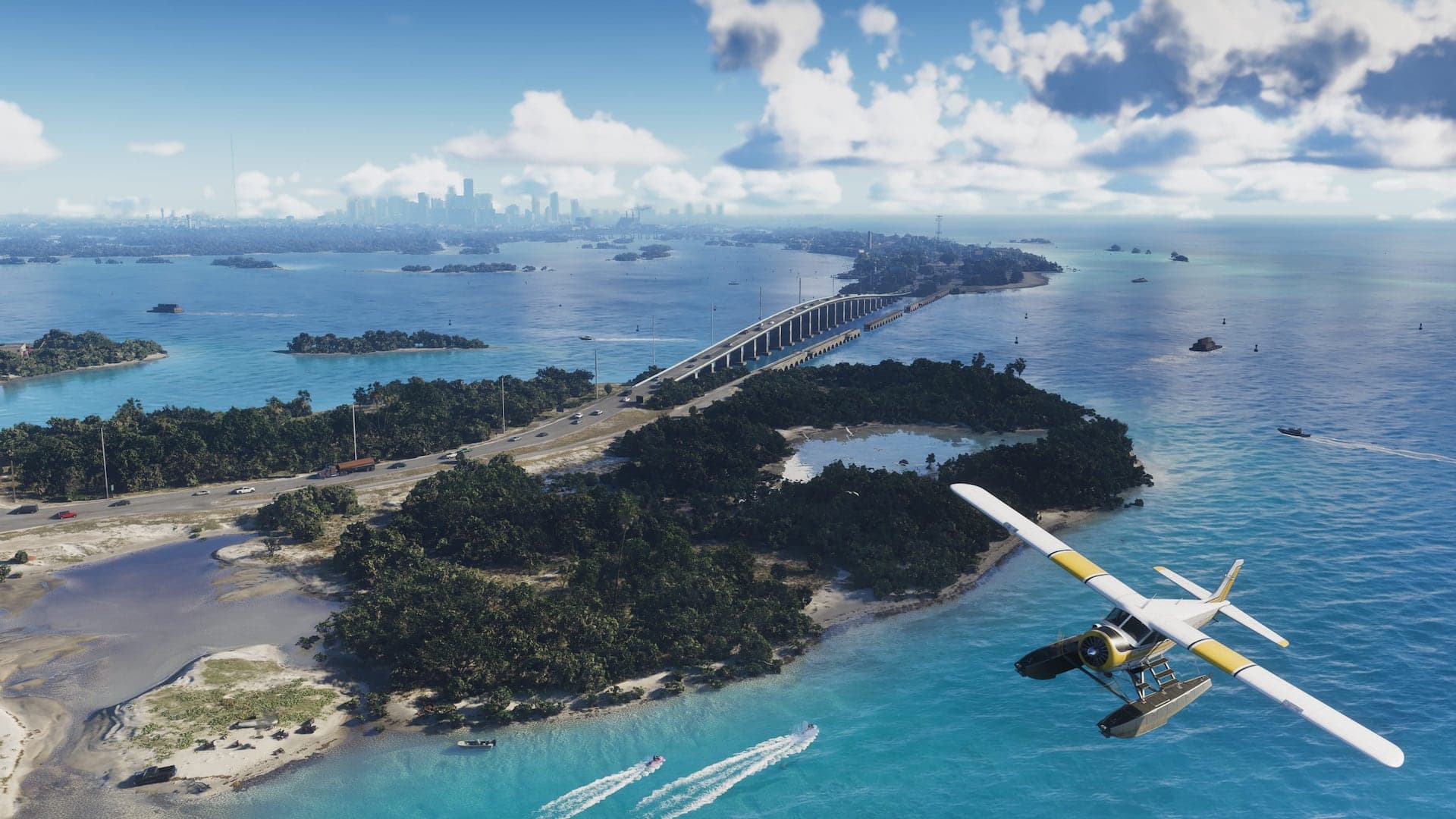
Leonida Keys & Grassrivers: Water Defines the Map
Island roads, mangrove channels, open water, airboats, wildlife, and the criminal routes connecting southern Leonida.