Map · August 30, 2026 · 16 min read
How Big Is the GTA 6 Map? Why Every Square-Mile Claim Is Still a Guess
Three times Red Dead, twice GTA 5, the size of Florida - none of those figures is a Rockstar measurement. Here is what six named regions plus one causeway drive actually prove.
How big is the Grand Theft Auto VI map? The question wants a number, and Rockstar has not published one. No square miles, no 'X times Los Santos,' no official comparison to Red Dead Redemption 2's playable area. Inflated graphics that stamp 3x RDR2 on a Florida silhouette are repeating a rumor, not quoting a product page.
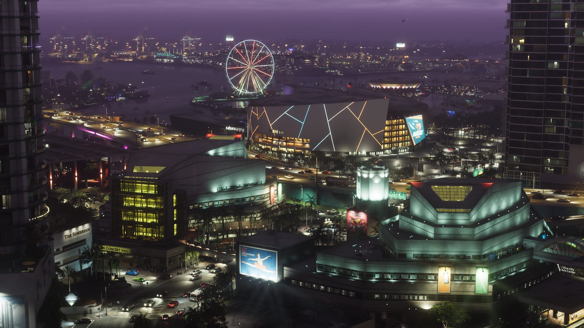
What is official is qualitative and already large: the state of Leonida, Vice City as the urban core, plus named regions including the Leonida Keys, Grassrivers, Port Gellhorn, Ambrosia, and Mount Kalaga. The Extended Look then showed a continuous drive from Vice City streets across a causeway into the Keys - connective tissue, not a loading-screen apology.
A continuous marketing drive is not a measured odometer. It proves Rockstar wanted you to feel distance. It does not let you convert pixels from a leaked pause-map into kilometers. Builds crop ocean. UI maps distort scale. Community overlays disagree with each other for a reason.
Leak-week stills billed as the full Leonida map added county-style labels this site has already treated as unofficial cartography. DMCA pressure suggested Take-Two thought the file was theirs to pull down. Stolen is not 'this is the November 19 pause map to scale.' A year-old layout can lose roads and gain districts.
If you need a planning sentence: expect a state-scale sandbox bigger in ambition than a single city, with water as a first-class surface. If you need a number: wait for reviewers with a minimap and a stopwatch. Area is a brag. Density is a feeling.
Confirmed geography, unconfirmed area
Rockstar's destination material names a state and six regional identities. That is a lot of map for a series that used to sell one city and a hinterland. It is still not a surveyor's certificate.
- Vice City as the dense urban core.
- Leonida Keys water and island roads.
- Grassrivers wetlands.
- Port Gellhorn as a faded resort coast.
- Ambrosia as inland industry and town fabric.
- Mount Kalaga National Park as wilderness at the edge.
- No first-party square-mileage figure.
What the Extended Look's causeway drive actually proves
Coverage on this site asked for months whether Leonida's regions would connect on screen or stay a set of postcards. The Extended Look answers that for at least one path: Vice City into the Keys plays as one continuous drive, no black frame, no obvious loading transition.
That is not proof every region connects this cleanly. It is not proof there is no streaming hitch anywhere in the game. It is proof the marketing team chose to demonstrate continuity rather than imply it, which is stronger than anything either numbered trailer did.
Where the huge numbers come from
Insider comments over the years, fan photogrammetry, and 'biggest GTA ever' marketing copy get flattened into a multiplier. Multipliers spread because they fit in a thumbnail. They fail because nobody outside Rockstar has surveyed the shippable navmesh.
Comparisons to Red Dead Redemption 2 are especially slippery. That map's playable area includes a lot of wilderness that is beautiful and empty on purpose. Leonida could be 'smaller' on a spreadsheet and still feel larger because Vice City is denser than Valentine. Do not outsource the argument to a PNG with a red circle.
Size versus density
A bigger silhouette with empty scrub is not automatically a better map than a denser Vice City. The questions worth asking in November are whether the six regions stay distinct after ten hours, whether water routes matter, and whether highways feel like travel.
GTA V taught a generation to treat the ring road as muscle memory. VI appears to sell longer emotional distances: neon to motel strip, motel strip to sugar plant, plant lights to forest dark. That is a pacing claim. It survives even if the square-mileage rumor is wrong in either direction.
Leaked maps and why they cannot end this
A pause-map crop can hide ocean, stretch inland forest, or represent an unfinished layout. Community mappers who spent years on trailer photogrammetry still have a job: their work is tied to footage Rockstar chose to publish. Use it as a cross-check, not as a loser in a screenshot contest.
County labels from unofficial stills stay unofficial. Repeat them as 'the leak image labels X,' not as 'Leonida contains X.' This site's region guides start from the six names Rockstar printed.
What would settle the argument
An official map poster with a scale bar, a Rockstar interview that uses units, or review-code measurements from multiple outlets that agree. Until then, treat every square-mile tweet as fan fiction with a ruler.
Your actual launch plan does not need a number. It needs a console that is on the platform list, storage for an unpublished install size, and a willingness to drive. The map is a state. The mileage is unpublished. Both of those sentences can be true at once.
Region identity beyond postcards
For “How Big Is the GTA 6 Map? Why Every Square-Mile Claim Is Still a Guess,” treat officially named Leonida regions as identity anchors rather than postcard checklists. Tourist glitter, working waterfronts, wetlands, and inland corridors can share a state fantasy without identical density.
Carry forward only the map details Rockstar has published. Decorative screenshots illustrate atmosphere; they do not finalize road networks or interior counts.
Travel modes and geography
Visible boats, highways, and aircraft in marketing related to “How Big Is the GTA 6 Map? Why Every Square-Mile Claim Is Still a Guess” suggest multi-modal travel across Leonida, but exact unlock rules and traversal systems remain unconfirmed unless Rockstar states them.
Geography analysis should note choke points and biome shifts without inventing timed trial lists or unreleased vehicle classes. What you can see is evidence; what you wish to drive is not.
Fan maps versus official names
Fan cartography around “How Big Is the GTA 6 Map? Why Every Square-Mile Claim Is Still a Guess” is useful as hypothesis and poor as citation. Prefer Rockstar's published names and trailer-visible landmarks when teaching readers the state.
When a community map disagrees with official labeling, the official label wins until Rockstar updates it. Do not present reconstructed borders as confirmed for the November 19 launch marketing kit.
Open questions for cartographers
Scale, verticality, interior density, and how districts connect under free-roam pressure remain open even after strong trailer geography. List those as questions, not as solved lore.
Grand Theft Auto VI remains scheduled for November 19, 2026 on PlayStation 5 and Xbox Series X|S unless a newer Rockstar or Take-Two update supersedes that plan. Map speculation should never be framed as a reason the console date moved. Cartographic uncertainty is normal this far from release.
Related dispatches
Map · 16 min
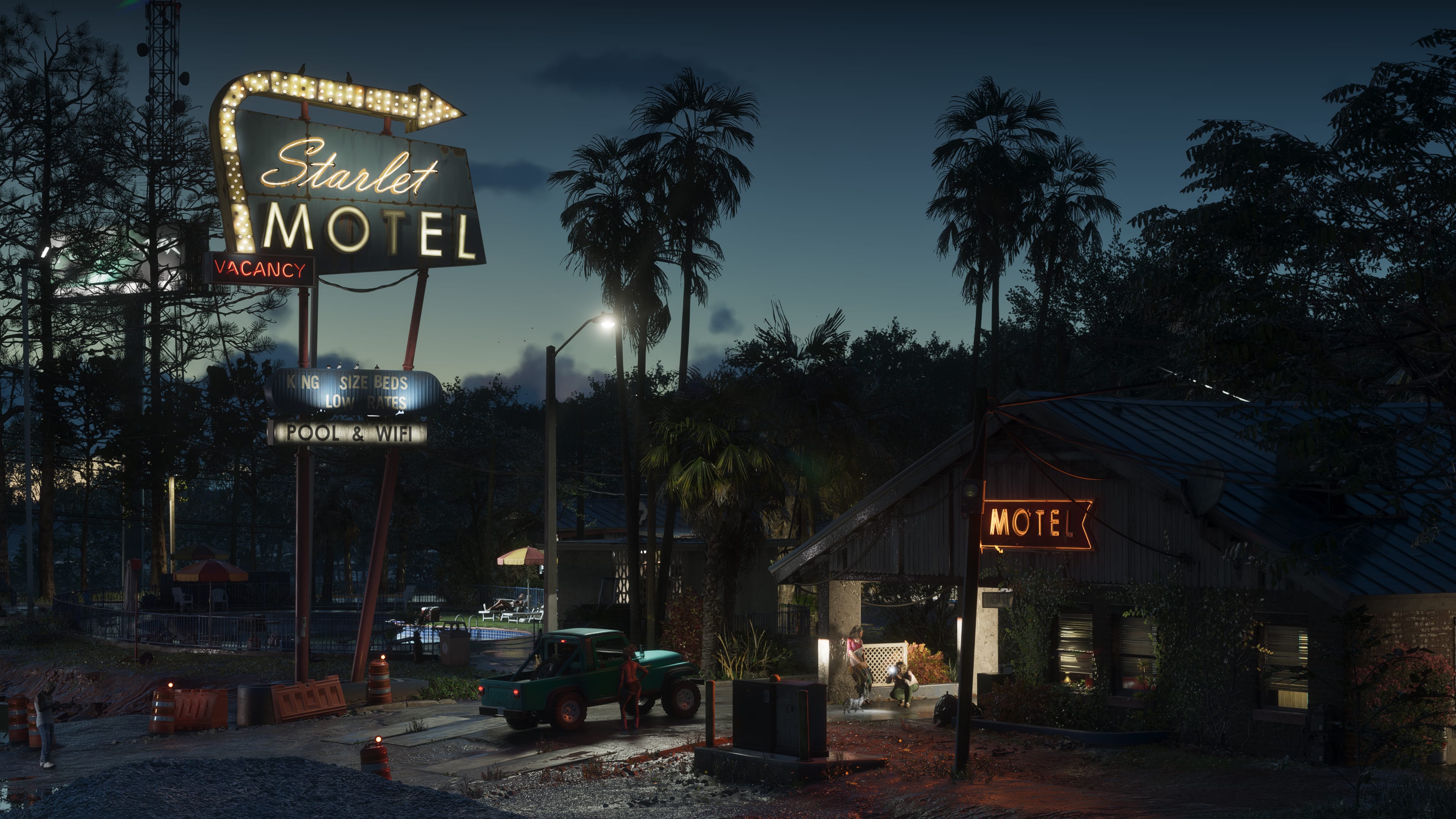
Every New Location the GTA 6 Extended Look Revealed
Port Gellhorn's boardwalk, a Grassrivers airboat dock, and the causeway linking Vice City to the Keys all got their first real screen time. Here is every location that debuted in the presentation, region by region.
Map · 16 min
Dalton Island to Catalan Key: New Names on the Cyberleek Map
After the 'full map' still, Cyberleek posted cropped labels: Dalton Island, Tequesta Retreat, Gloriana Key, Catalan Key. Here is how to file those names against the six regions Rockstar has actually published.
Map · 16 min
How Leonida Roasts Florida: Tourism, Influencers & Sunshine-State Satire
Vice City is not a Miami postcard with the labels peeled off. It is a satire of a state that sells paradise while filming itself. Here is the geography of that joke.