Map · July 9, 2026 · 16 min read
Vice City Guide: Beaches, Nightlife & Neighborhoods
A close reading of GTA VI's urban heart, from pastel hotels and marinas to highways, high-rises, and club culture.
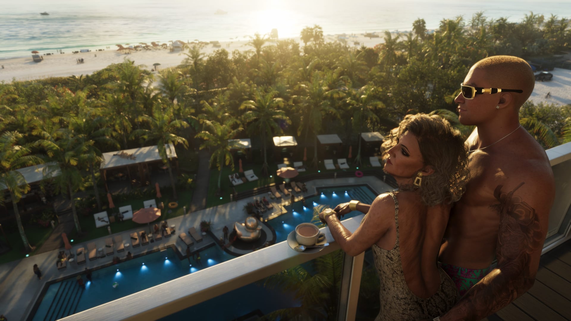
Vice City is no longer presented as an isolated resort town. Official footage places its beaches and neon hotels inside a larger metropolitan web of towers, causeways, suburbs, working neighborhoods, ports, clubs, and luxury enclaves.
Rockstar's own description calls it the darkest side of the sunniest place in America. The contradiction captures the series' target: aspiration and spectacle sitting directly above exploitation and crime.
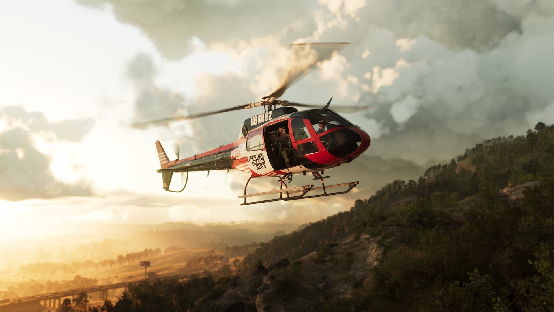
The visible city layers
- Oceanfront tourism: beaches, art-deco facades, rooftop pools, hotels, and crowded nightlife strips.
- Luxury Leonida: yachts, supercars, high-rise apartments, marinas, and gated properties.
- Everyday city: freeways, gas stations, convenience stores, low-rise neighborhoods, and strip malls.
- Music economy: clubs, dancers, recording studios, social-media promotion, and Only Raw Records.
- Water network: canals, bays, bridges, docks, and coastal access that connect the city to the Keys.
Density without invented numbers
Screenshots imply heavy pedestrian and traffic activity, but crowd counts, enterable-building totals, and AI simulation claims remain unconfirmed. The safest conclusion is qualitative: Rockstar is presenting a more crowded and socially observed city.
Region identity beyond postcards
For “Vice City Guide: Beaches, Nightlife & Neighborhoods,” treat officially named Leonida regions as identity anchors rather than postcard checklists. Tourist glitter, working waterfronts, wetlands, and inland corridors can share a state fantasy without identical density.
Carry forward only the map details Rockstar has published. Decorative screenshots illustrate atmosphere; they do not finalize road networks or interior counts.
Travel modes and geography
Visible boats, highways, and aircraft in marketing related to “Vice City Guide: Beaches, Nightlife & Neighborhoods” suggest multi-modal travel across Leonida, but exact unlock rules and traversal systems remain unconfirmed unless Rockstar states them.
Geography analysis should note choke points and biome shifts without inventing timed trial lists or unreleased vehicle classes. What you can see is evidence; what you wish to drive is not.
Fan maps versus official names
Fan cartography around “Vice City Guide: Beaches, Nightlife & Neighborhoods” is useful as hypothesis and poor as citation. Prefer Rockstar's published names and trailer-visible landmarks when teaching readers the state.
When a community map disagrees with official labeling, the official label wins until Rockstar updates it. Do not present reconstructed borders as confirmed for the November 19 launch marketing kit.
Open questions for cartographers
Scale, verticality, interior density, and how districts connect under free-roam pressure remain open even after strong trailer geography. List those as questions, not as solved lore.
Grand Theft Auto VI remains scheduled for November 19, 2026 on PlayStation 5 and Xbox Series X|S unless a newer Rockstar or Take-Two update supersedes that plan. Map speculation should never be framed as a reason the console date moved. Cartographic uncertainty is normal this far from release.
Related dispatches
Map · 16 min
How Big Is the GTA 6 Map? Why Every Square-Mile Claim Is Still a Guess
Three times Red Dead, twice GTA 5, the size of Florida - none of those figures is a Rockstar measurement. Here is what six named regions plus one causeway drive actually prove.
Map · 16 min
Every New Location the GTA 6 Extended Look Revealed
Port Gellhorn's boardwalk, a Grassrivers airboat dock, and the causeway linking Vice City to the Keys all got their first real screen time. Here is every location that debuted in the presentation, region by region.
Map · 16 min
Dalton Island to Catalan Key: New Names on the Cyberleek Map
After the 'full map' still, Cyberleek posted cropped labels: Dalton Island, Tequesta Retreat, Gloriana Key, Catalan Key. Here is how to file those names against the six regions Rockstar has actually published.